Microwave Path Survey
The formal design of your radio network begins with a field site and path survey. The survey is required to collect site data necessary to engineer the radio link and to document path obstruction heights to assure line-of-sight conditions and proper path clearance. FCC and FAA documentation requires accurate information be used in regulatory filings and the field survey yields data that assures the required level of accuracy for engineering and filing purposes are met.
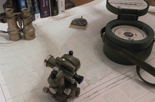
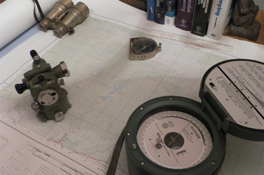
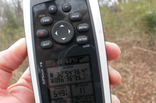
The path survey is performed in the field. All sites are visited and data is collected and documented. The terrain between radio terminals is traversed and critical points along the path are documented with measurement of ground elevation, obstruction location, type and height, as well as other factors that may affect radio wave propagation.
A detailed survey report is generated that documents:
- Site latitude and longitude
- Ground elevation
- Miscellaneous site details
- Existing/required tower requirements
- Path obstruction type and height
- Sources of potential signal reflections
- Site and path descriptions and photos
- Site location and topographic maps
- Site plot plan and tower mapping